

Geographic Information Systems
Transforming Location Data into Actionable Intelligence.
Cartography
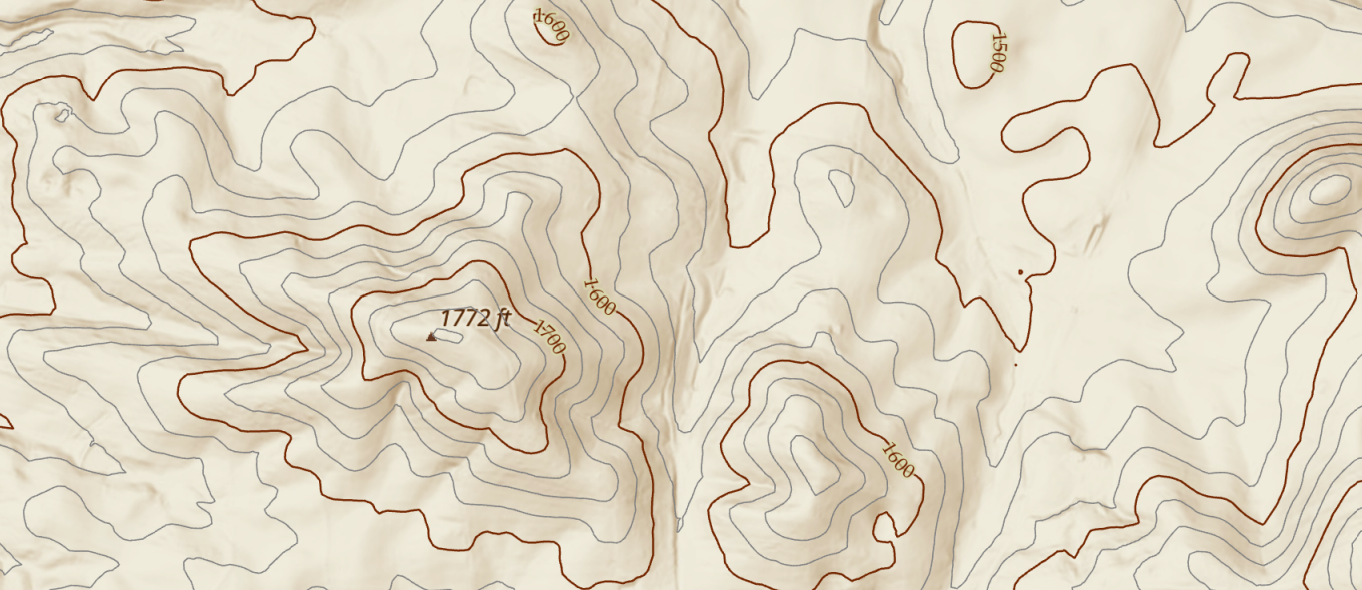
Custom topographic maps for your business, operations, or artistic preference.
Location Intelligence - Spatial Analytics
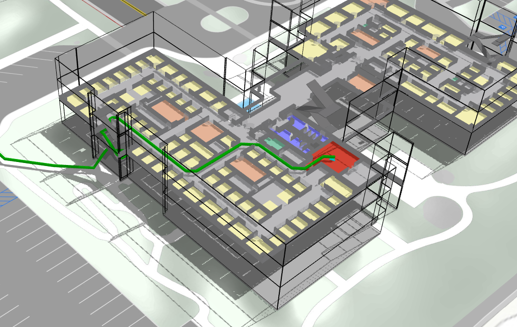
Utilize existing data by examining spatial relationships. Identify unique geographic trends.
What we do
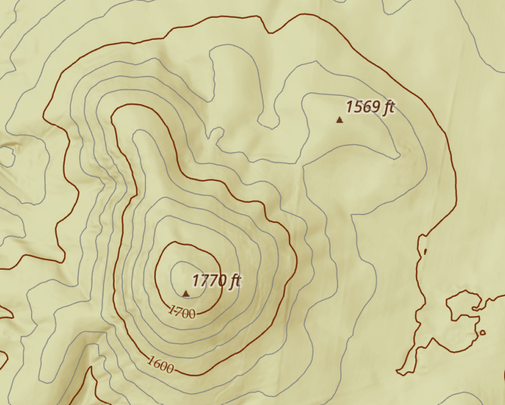
Overmountain Geographics turns location data into practical geographic intelligence. We provide GIS, custom cartography, and spatial analytics that help organizations understand where things are, why location matters, and how geographic patterns can inform better decisions.
GIS
Data management, spatial analysis, GIS implementation, and decision-support mapping.
Cartography
Purpose-built maps for operations, communication, planning, publication, and display.
Spatial Analytics
Geographic analysis that reveals patterns, relationships, opportunities, and risks hidden within existing data.

Industries We Serve
Architecture, Engineering, and Construction (AEC) ∙ Business ∙ Conservation ∙ Education
Energy ∙ Facilities ∙ Government ∙ Intelligence
Health and Human Services ∙ Natural Resources ∙ Non-Profit/NGO ∙
Public Safety ∙ Real Estate ∙ Science ∙ Transportation ∙ Utilities
Contact
Let us know how we may assist by submitting this form!